This is part four of a series about the mines featured in the Gold Rush TV show. We suggest starting from the beginning of this series.
Season 4 of Gold Rush took familiar faces but shuffled locations. The Hoffman crew pulled up their stakes and took a swing at mining in South America at the Q.O.D. Mine in Guyana. The Dakota boys split their risk between the new, mountainous Cahoon Creek mine, and their long standing claim on Porcupine Creek. The Parker Schnabel crew left the nearly played out Big Nugget Mine in Alaska and leased a site along Scribner Creek in the Yukon.
Q.O.D. Mine (Hoffman Crew)
5°22′45″N 59°07′46″W
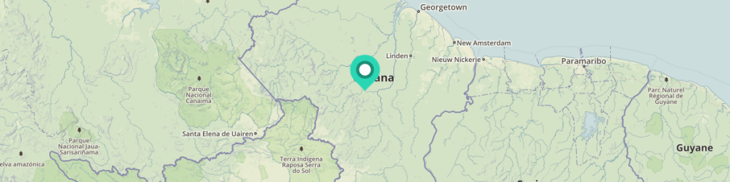
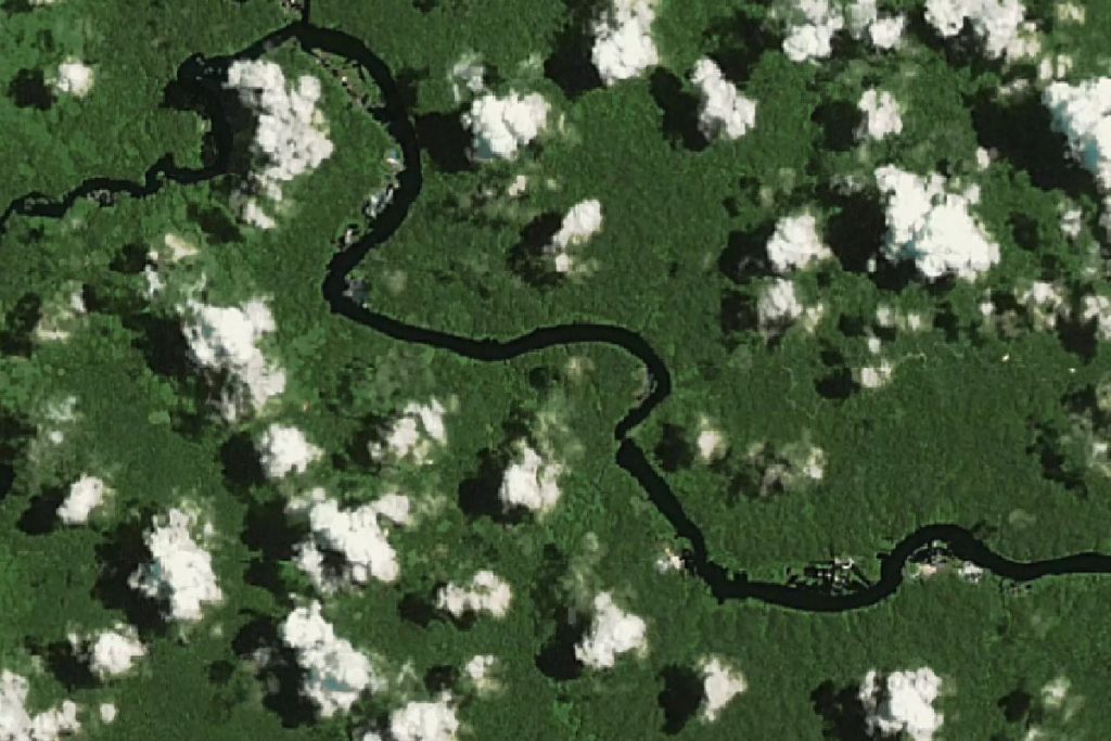
In Gold Rush: South America—a miniseries that aired between seasons 3 and 4—the Hoffman crew scout out potential mining opportunities in Peru, Chile, and Guyana. With information gathered in this trip, the Hoffman crew relocates from the frozen north to the Q.O.D. Mine, near Mahdia, Guyana. The region is billed as hosting five times more gold than the Klondike yet is far more dangerous than efforts in Alaska or Canada. Throughout the season the team pursues gold in multiple parts of the site: Maple Creek Cut, Patience Creek Cut, Redemption Creek Cut, and the Hope Creek Cut. Yet, by the end of the season, the Hoffman crew had mined only 2 ounces of gold. In an act of desperation, the Hoffman crew pivot to diamond mining. Even so, the $1,350 worth in diamonds collected by the crew was worth even less than the two ounces of gold. All told, the Guyana expedition was deeply traumatic to the Hoffman expedition. The cost of importing and operating heavy machinery in the jungle undid all the gains from last season, leaving Hoffman near bankruptcy and unsure of next season’s prospects.
Learn more about the Q.O.D. mining region:
- USGS record for Shorey’s Workings (within 0.59 miles)
- USGS record for Kingston’s Workings (within 0.74 miles)
- USGS record for Bobb’s Workings (within 1.27 miles)
- USGS record for Noitgedacht Creek (within 1.47 miles)
- USGS record for Paul’s Workings (within 2.13 miles)
- Overview of mining activity for the Guyana Territory
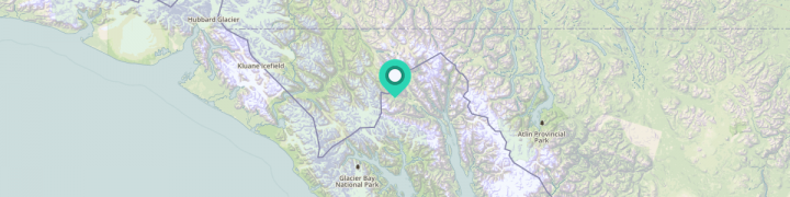
Cahoon Creek Mine (Dakota Fred Crew)
59°22’49.1″N 136°14’47.4″W
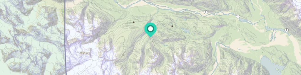
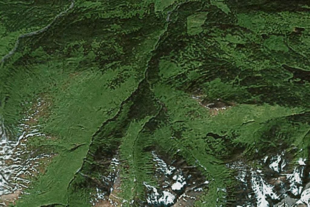
In an attempt to mine the source of the gold found in Porcupine Creek, “Dakota” Fred Hurt and his team identify the Cahoon Creek mine. Cahoon Creek is part of an impressively wealthy mining region: along with Porcupine and Mckinley creeks, mining of Cahoon Creek between 1898 and 1916 yielded $1,200,000 of gold.
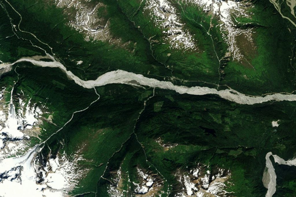
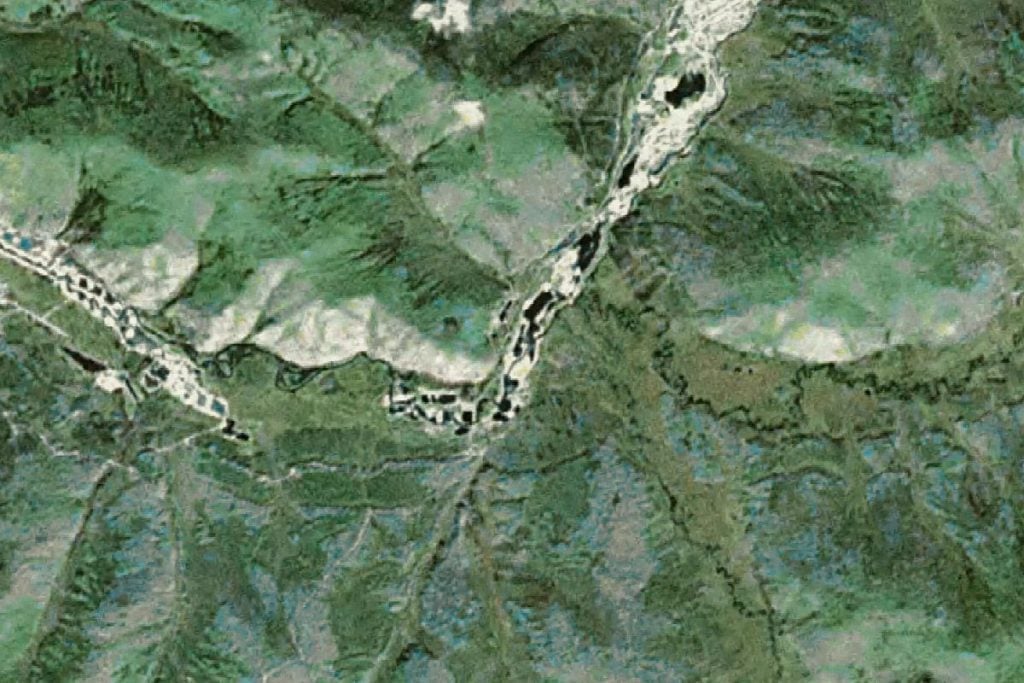
Historically, Cahoon Creek has been the focus of sporadic attention. Cahoon Creek Gold Mining Co. worked the lower Cahoon between 1908 to 1922. Attempts to work the upper Cahoon were largely unsuccessful. This is partially due to the Cahoon Glacier. In 1902, three small hydraulic plants attempted to operate at the face of the Cahoon Glacier but it, like later attempts, proved unsuccessful.
Yet, fifty years ago, the Cahoon Glacier melted, exposing rock that was inaccessible a century ago. While the site remains difficult to reach, the mountainous area meant that it has remained relatively untouched. This operation is a notable departure from mining practices in earlier seasons. Rather than placer mining, the Dakota boys are now hunting for the original veins that the placer gold comes from. This means hard rock mining. The team needs rock crushers to pummel ore bearing rock and access the gold. Equipment worth $100,000—including a wash plant, loader, excavator, and dump truck—had to be disassembled and helicoptered to the site.
While the first cut that was excavated yielded no gold, the second cut, further down the mountain, did have some. Unfortunately, even that gold was uneconomical to excavate. Fortunately for the Dakota crew, they had split their efforts between Cahoon Creek and their original Porcupine Creek claim.
Learn more about the Cahoon Creek mining region:
- USGS record for Cahoon Creek (collected by T.C. Crafford)
- U.S. Bureau of Mines record for Cahoon Creek
- Overview of mining activity for the Haines County, Alaska
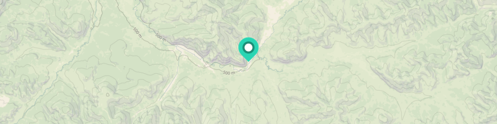
Jim Nail Placer Mine (Dakota Fred Crew)
59°25′6.91″N 136°13′48″W
In season 1, the Hoffman crew discovered a “glory hole”—a large deposit of gold at the base of an ancient and now buried waterfall. While “Dakota” Fred Hurt initially passed over this site following his acquisition of the claim, the crew returns to this site when the Cahoon Creek location proves to be too difficult to excavate. By the end of the season the Dakota crew had successfully excavated 280 ounces of gold.
Get more details about Jim Nail Placer Mine from our Season 1 analysis.
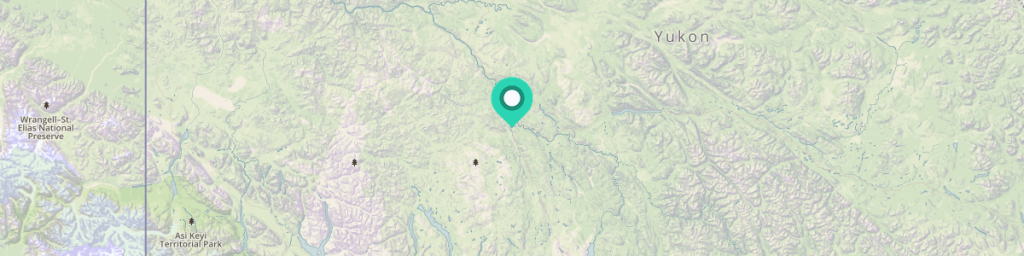
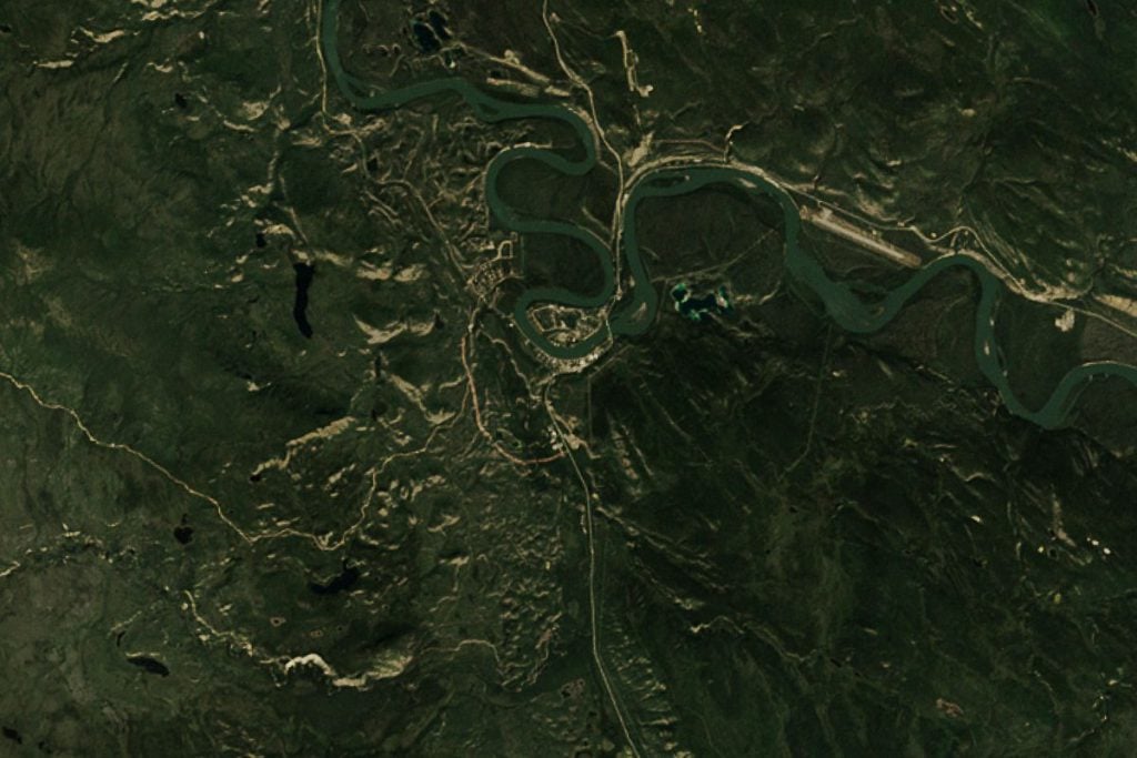
Scribner Creek Mine (Parker Schnabel Crew)
63°37′07″N 138°42′29″W
After two seasons of mining on his grandfather’s claim, Parker Schnabel and his crew lease the Scribner Creek Mine from Tamarack, Inc, owned by Tony Beets. Scribner Creek Mine is 17 miles from the Quartz Creek site that the Hoffmans mined over season 2 and season 3. Parker set a 800 ounce goal for the season, which the crew surpassed, totaling 836 ounces over the conventional mining season. While most of the crew left at the conclusion of the season, Parker and Rick remained and mined an additional 193 ounces. The extended season totaled 1,029 ounces, worth $1.4 million. Parker’s season earned more than the Hoffman crew has mined in their entire Gold Rush career.
Learn more about the Scribner Creek mining region:
- USGS record for Eureka Creek (within 4.63 miles)
- USGS record for Sulphur-Gold Run (within 5.13 miles)
- USGS record for Dominion-Jensen (within 12.93 miles)
- USGS record for Black Hills Creek (within 15.5 miles)
- USGS record for Quartz Creek (within 16.58 miles)
- Overview of mining activity in the Yukon, Canada
Carmacks Mine (Dodge Crew)
One claim considered by the Hoffmans and covered in the season 4 finale was the Carmacks mine, a historic site rich in course gold. Carmacks was named after George Washington Carmacks, the man whose discovery of gold in 1896 and triggered the Klondike Gold Rush. This particular stretch of land outside of Carmacks, Yukon—though close to some of the richest land mined in the area—was missed during the gold rush and is considered to contain some of the best gold deposits in the Yukon.
Dave Turin, a former member of the Hoffman crew, left the jungle expedition to join Freddy and Derrick Dodge to mine the Carmacks nuggets in the middle of season 4. Closeups of massive gold nuggets, including a 5-ounce nugget during the season finale, added a final insult to the colossal injury sustained by the Hoffman’s devastating failure that season.
Learn more about the Carmacks mining region:
- USGS record for Carmacks Williams Creek (within 22 miles)
- USGS record for Mount Nansen (within 27 miles)
- USGS record for Kirkland Creek (within 28 miles)
- Overview of mining activity in the Yukon, Canada
Learn more about Gold Rush mining sites on our Gold Rush Locations Overview.